
NOAA Maps Reveal Historical Impact of El Niño on US Snowfall Patterns

The National Oceanic and Atmospheric Administration (NOAA) has released historical maps showing how El Niño influences snowfall in the United States. While El Niño typically brings wetter and cooler weather to the southern US and drier and warmer conditions to the north, the new maps indicate areas where snowfall tends to differ from average during El Niño winters. However, these maps are not forecasts but rather guides based on historical data, as snowfall depends on various atmospheric and climatological factors, not just El Niño.
Featured


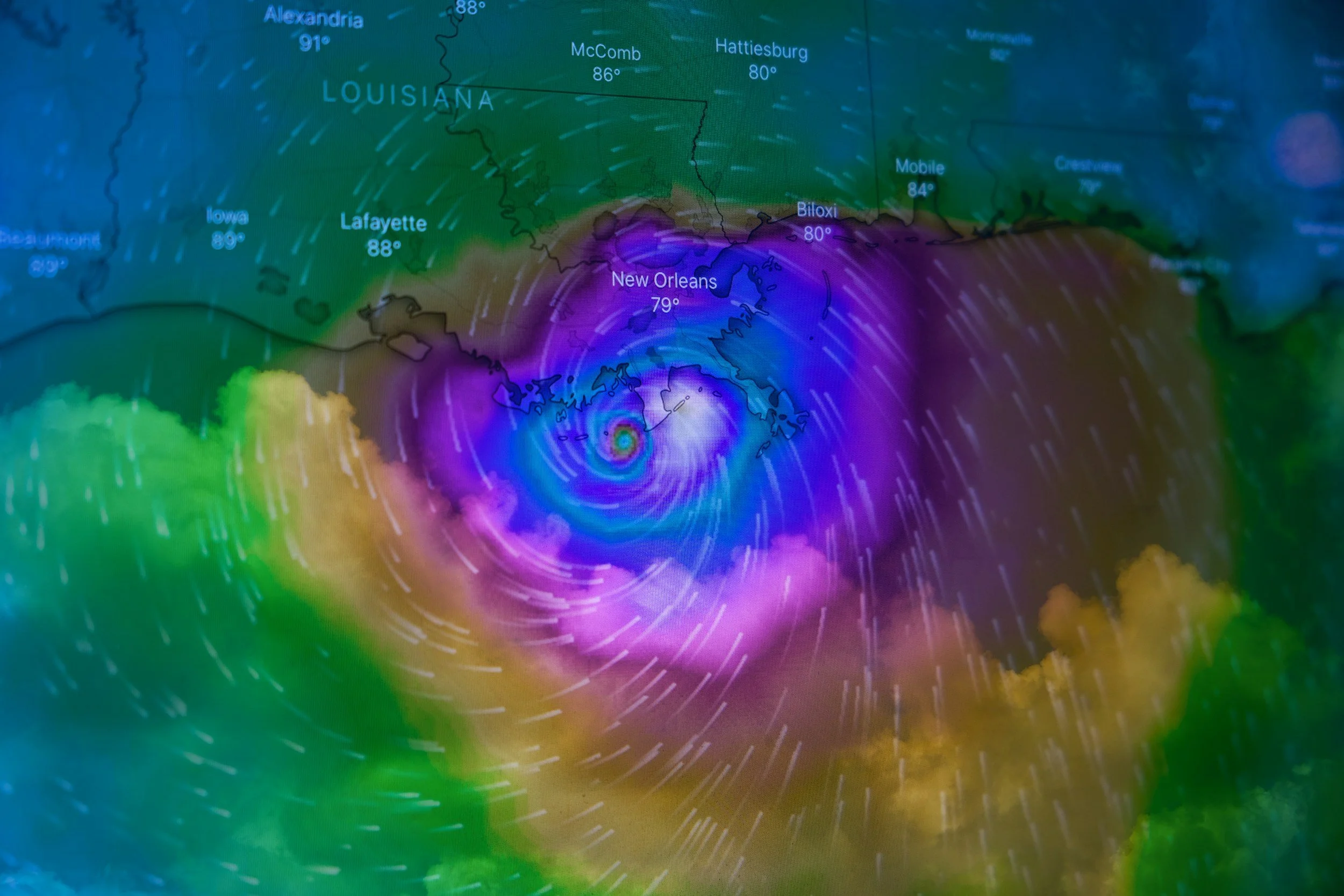


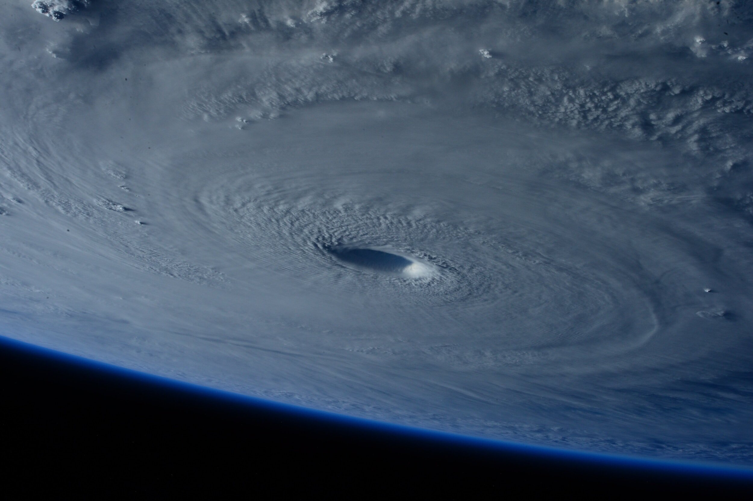


NOAA forecasters predict an above-normal hurricane season in the Atlantic for 2024, with an 85% chance of higher-than-average activity.